Cliffs that drop straight into the Pacific Ocean, waves crashing on the rocks below the bridges, and a new view around every bend: that’s what a drive along Highway 1, California’s famous coastal road, looks like. The road winds between small beach towns and redwood forests, and along the way there are countless points of interest, such as historic bridges, lighthouses, elephant seal colonies and even a lavish castle on a hilltop.
This article is all about this amazing journey along the coast. We’ve gathered everything you need to know before you set off, including recommended stops, where to stay, how much time to allow for the drive and tips that will make your trip even better.
And if you want to make Highway 1 part of a longer trip in California, with Yosemite, San Diego or other national parks, it combines beautifully with a road trip of two weeks or more.
What Is California’s Highway 1?
Highway 1 (State Route 1) is the longest highway in the state of California, on the West Coast of the USA. It stretches for about 1,050 km (650 miles), from Dana Point in the south, between Los Angeles and San Diego, to Leggett in the north of the state. Different sections have different names: in Southern California, around Los Angeles, it’s called the Pacific Coast Highway (PCH for short), and in the middle of the state it’s called the Cabrillo Highway, after Juan Rodríguez Cabrillo, the explorer who sailed along this coast in the 16th century.
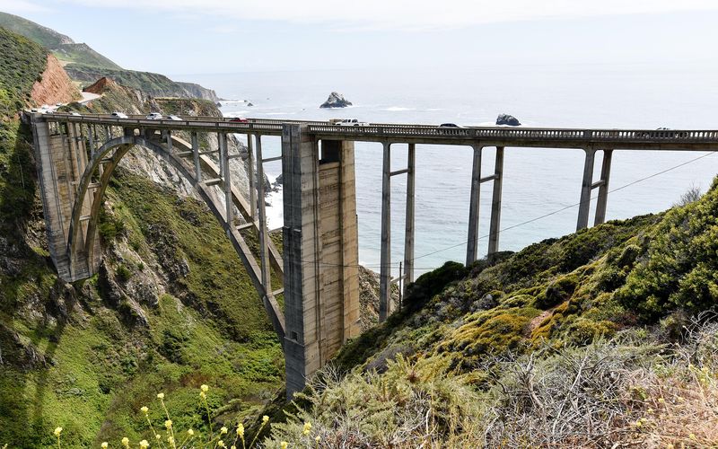
The most famous section of the road is Big Sur, a stretch of coast of about 115 km (70 miles) between the towns of Carmel and San Simeon, where the mountains drop steeply into the ocean. Building the road along this section took 18 years and relied in part on the labor of prisoners from San Quentin State Prison, who received a tiny daily wage and a reduced sentence in return. Dozens of bridges were built to cross the deep canyons along the way, the best known of them being Bixby Bridge, one of the most photographed spots in California.
The Big Sur section opened in 1937, and in the 1960s it was declared California’s first scenic highway. The other sections of Highway 1 were paved gradually, and only in 1964 did the whole road officially receive the number 1. Today it is recognized as an All-American Road, a title given to the most important scenic roads in the United States, and Big Sur alone gets millions of visitors every year, about as many as Yosemite National Park!
Which Part of Highway 1 Should You Drive?
Most travelers drive Highway 1 between San Francisco and Los Angeles, and that’s the route this article focuses on. It’s a drive of more than 700 km (435 miles), which takes 9 to 12 hours without stops. Along the way you pass through Monterey, Carmel, Big Sur, San Simeon and Santa Barbara, and you finish on the beaches of Malibu and Santa Monica.
The road doesn’t run along the water the whole way. In a few sections, for example between San Luis Obispo and Pismo Beach and along the coast of Santa Barbara, it merges with Highway 101 (US 101), and in some of them there are no Highway 1 signs at all. So if your navigation app sends you onto Highway 101, that’s perfectly fine.
And what about the rest of the road? North of San Francisco, Highway 1 crosses the Golden Gate Bridge and continues along the coast of Marin County. It passes near Point Reyes, a national seashore with a lighthouse and herds of elk, and through the town of Mendocino, which sits on a headland above the sea and attracts artists and vacationers. This section doesn’t lead to a big city: at its northern end the road turns inland from the coast and joins Highway 101 near the town of Leggett, so it works better as a separate trip from San Francisco.
South of Los Angeles, Highway 1 runs mostly through the beach towns of Orange County, such as Huntington Beach and Laguna Beach, until it ends at Dana Point. If you continue south, it’s worth stopping at Crystal Cove State Park, with beaches, cliffs and tide pools that are exposed at low tide.
Before You Set Off
Don’t leave before you read this important information:
How Much Time Do You Need for Highway 1?
On paper you can drive from San Francisco to Los Angeles in one long day, but that way you’ll only see the scenery through the window. To really enjoy the drive, I’d recommend allowing at least three or four days for this stretch, and more is better. Convenient places to stay along the way are Monterey or Carmel, the San Simeon and Cambria area, and Santa Barbara. You’ll find my recommendations further on in the article.
Important tip: driving through Big Sur is slow. There’s one lane in each direction, lots of curves and almost no alternative roads. Also, some of the restaurants and shops along the road close in the early afternoon. So it’s best to set off early in the morning and plan to reach your accommodation before dark.
Which Direction Should You Drive?
You can of course drive in either direction: both cities have large airports, so you can fly into one and fly home from the other. Still, I recommend driving from north to south, from San Francisco to Los Angeles. That way the ocean is on the right side of the car, and it’s easier to pull over at the viewpoints along the way.
When Is the Best Time to Drive Highway 1?
Thanks to California’s mild weather, you can drive the road all year round, but every season has its pros and cons. Fall (September and October) is considered the best time, because the skies are usually clearer and there are fewer crowds than in summer. In spring the weather is pleasant and the coast is covered in spectacular blooms. Summer is the busiest season, and quite a few mornings are foggy, hiding the view. Winter, the rainy season, can bring landslides that close parts of the road. On the other hand, it’s the best season if you want to see the elephant seals at San Simeon and gray whales in Monterey Bay.
Important: Check the Road Conditions Before You Go
The road through Big Sur is exposed to landslides, floods and wildfires, and over the years sections of it have been closed for long periods. The last long closure, at Regent’s Slide in southern Big Sur, lasted about three years, and the road reopened along its full length only in January 2026. Even since then there have been occasional temporary closures and roadworks with one-lane alternating traffic. So it’s important to check the road conditions on the website of the California Department of Transportation (Caltrans), Caltrans, right before you set off, so you don’t run into any surprises.
Car Rental
I always recommend comparing car rental prices on a few sites before you book. I wrote about how to save on car rental abroad here.
If you’re driving one way, from San Francisco to Los Angeles or the other way around, you’ll need to return the car somewhere other than where you picked it up. Keep in mind that rental companies usually charge extra for this.
Tip: you don’t need a car while you’re in San Francisco, so you can pick it up on the day you set off. For more important tips, read our article on car rental in the USA.
What Should You Book in Advance?
At most points of interest along the road you simply stop whenever you feel like it. But there are a few things worth booking before you set off:
- Hearst Castle: you can only visit on a guided tour, and booking ahead is highly recommended. All the details are below.
- Getty Villa in Malibu: entry is free, but you need to book a timed ticket in advance.
- Accommodation in Big Sur and Carmel: there are few places to stay in Big Sur, and in Carmel they’re in high demand and expensive, especially in summer and on weekends.
More Important Tips
- Gas: there are few gas stations in Big Sur, and prices there are high. Fill up in Monterey or Carmel before entering Big Sur (or in Cambria if you’re driving north).
- Cell reception: there’s no reception along most of Big Sur, so download offline maps in advance.
- Let others pass: there are pullouts (turnouts) along the road. Under California law, on a road with one lane in each direction, a slow vehicle with a line of five or more vehicles behind it must pull over into a turnout and let them pass!
- Photos: when you want to take pictures, stop only at a turnout or a proper parking area.
- Food and restrooms: there are few restaurants and restrooms in Big Sur, so bring water and snacks for the road.
Where to Stop Along Highway 1
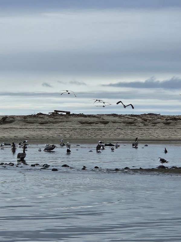
Here are the most popular stops along the road, in driving order from San Francisco heading south. You can’t stop at all of them, and you don’t need to. Pick the ones that suit you, and leave time for unplanned stops at viewpoints along the way.
The starting point is of course San Francisco, where it’s worth spending a few days on the Golden Gate Bridge, Fisherman’s Wharf and Alcatraz. We covered everything there is to do in the city in ourSan Francisco travel guide.
Recommended Stops Between San Francisco and Santa Cruz
Pigeon Point Lighthouse: between San Francisco and Santa Cruz stands one of the tallest lighthouses on the West Coast of the USA, a white tower about 35 meters (115 feet) high. It’s a short and pretty photo stop on the way.
Santa Cruz Beach Boardwalk: this is the oldest amusement park still operating in California, opened in 1907 on the beach. Entry to the area is free, and you can simply stroll along the beach. The park’s most famous ride is the Giant Dipper, a wooden roller coaster that has been running since 1924! Not sure I’d get on it…
Natural Bridges State Beach: a beach at the western end of Santa Cruz, with a natural rock arch in the sea. If you’re there between October and early February, take a peek at the beach’s butterfly preserve too: thousands of monarch butterflies gather there to spend the winter.
Monterey
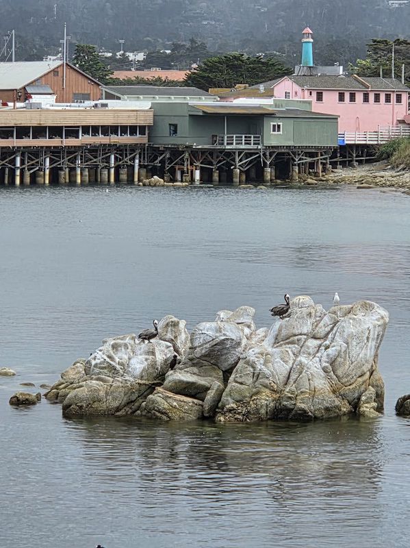
Monterey isn’t just another stop on the way, it’s a place worth spending at least one night. The city has a mix of nature, history, shopping and good food, with attractions that suit families too. In my opinion the most fun is to wander along the coast and through the streets and explore whatever you find on the way, whether it’s watching the adorable sea otters, interesting shops or good ice cream.
Monterey Bay Aquarium: one of the most famous aquariums in the world, focusing on the animals of the bay itself and a leader in sea otter research and conservation. You can also see sea otters in the sea outside the aquarium.
Cannery Row: the street along Monterey’s waterfront, once home to sardine canneries. It became famous thanks to John Steinbeck’s novel Cannery Row, and today it has restaurants, shops and hotels, and the aquarium is on it too.
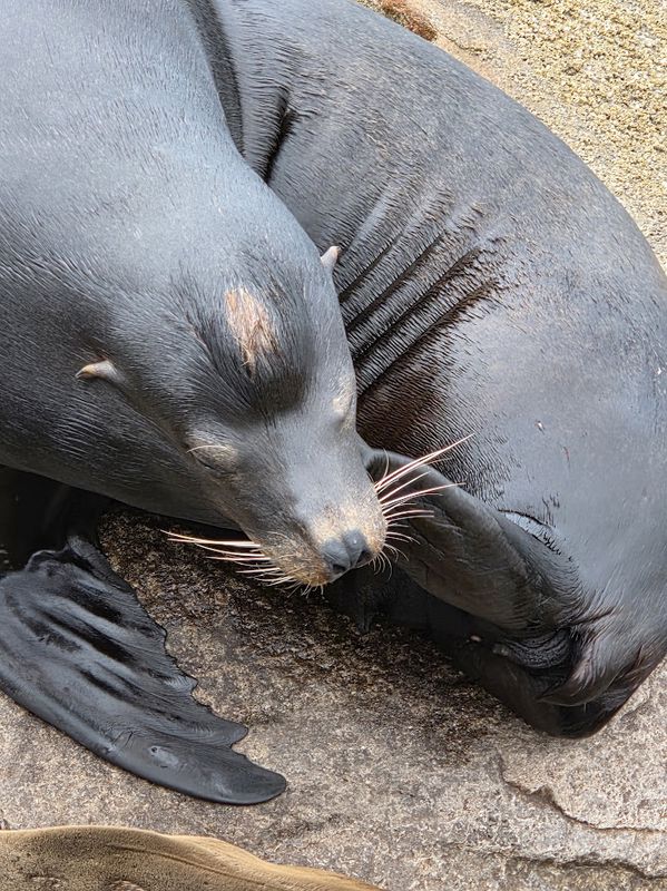
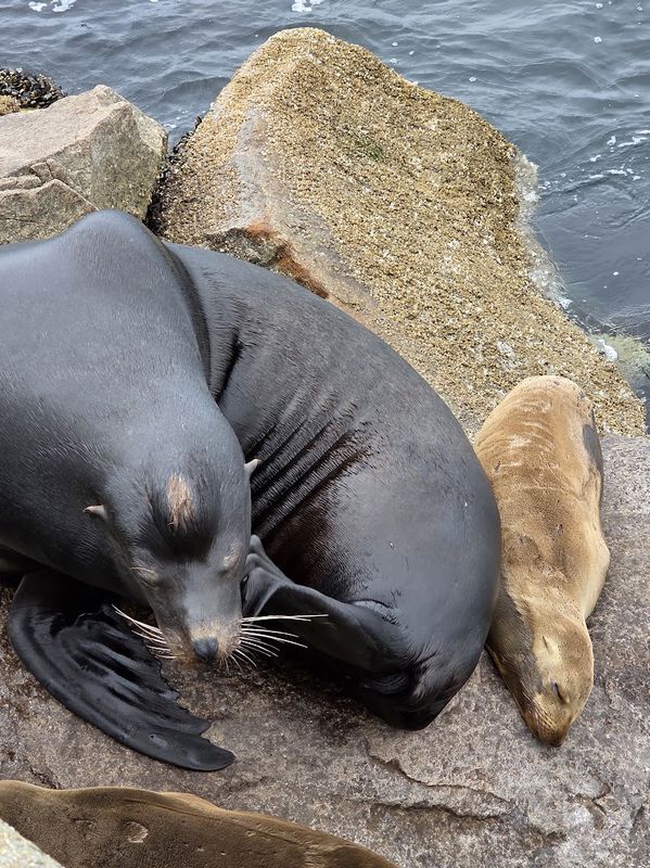
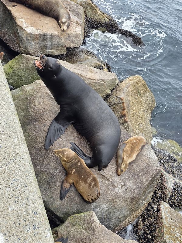
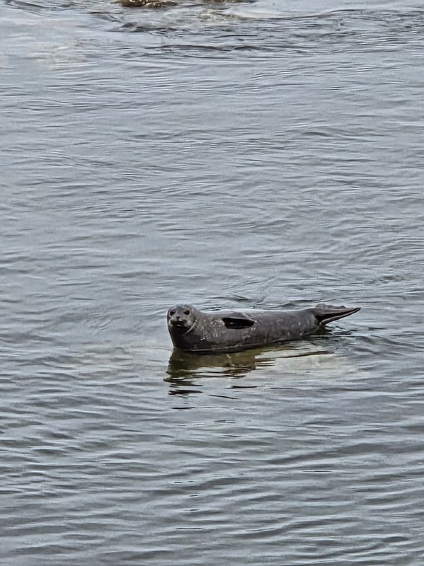
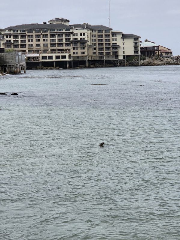
Old Fisherman’s Wharf: a pier with seafood restaurants and shops, and the departure point for whale watching cruises. In the nearby harbor and on the way between the wharf and the aquarium you can often see sea lions up close.
Whale watching cruises: Monterey Bay is considered one of the best places in the world for whale watching, and you can see whales there all year round. In summer and fall the bay mostly gets humpback whales, and in winter gray whales on their way south.
This cruise leaves from Old Fisherman’s Wharf, with a marine biologist or naturalist on board, and lasts two and a half to four hours, depending on the season and departure time.
Recommended Stops on the Monterey Peninsula and in Carmel
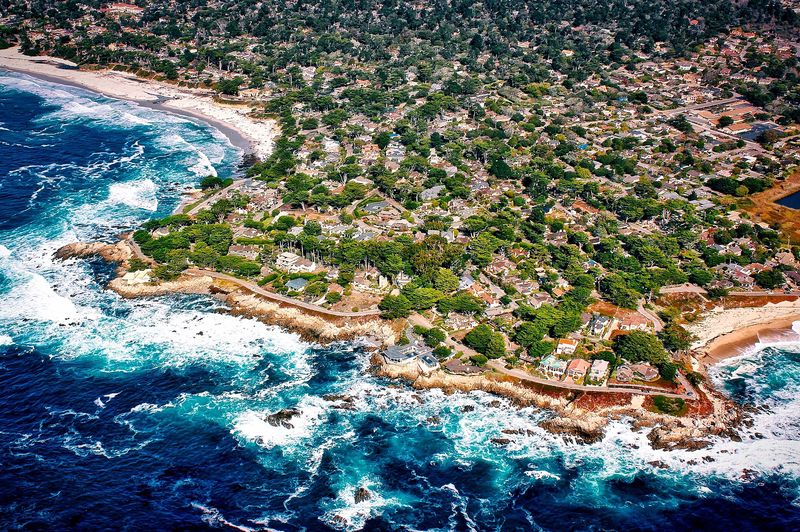
Monterey sits on the northern side of the Monterey Peninsula, which juts out into the ocean between Monterey Bay to the north and Carmel Bay to the south. Next to Monterey, the peninsula is also home to the town of Pacific Grove, on the shore of Monterey Bay, the resort community of Pebble Beach and the town of Carmel, where Big Sur begins to the south. The distances between them are short, and you can combine several stops in one day.
17-Mile Drive: a private scenic road between Pacific Grove and Carmel, through Pebble Beach and its famous golf courses. Along the way there are views of rocky beaches, of Bird Rock, where seabirds and sea lions rest, and of the Lone Cypress, a cypress tree standing alone on a rock above the sea. There’s a fee to enter the road.
Carmel-by-the-Sea: a small, picturesque town with galleries, shops and cafés, and a main street, Ocean Avenue, that runs down to a wide sandy beach. On the surrounding streets stand the Fairy Tale Cottages, small, charming houses that look like they came out of a storybook. Many of them were designed in the 1920s by Hugh Comstock. Most houses in Carmel have no street numbers, and many have names instead of addresses. Just remember that these are private homes: don’t trespass and don’t disturb the residents.
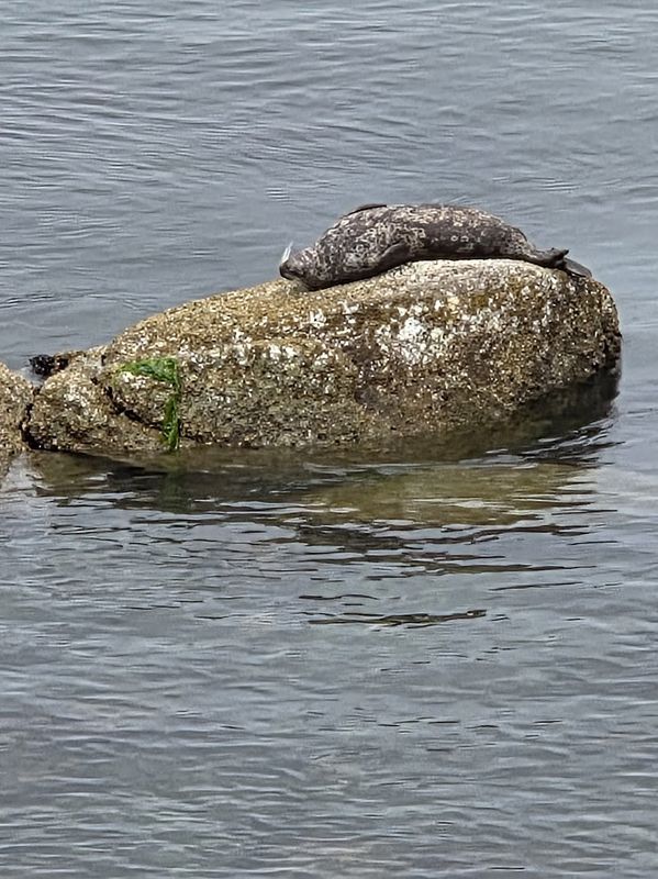
Point Lobos State Natural Reserve: just south of Carmel is a nature reserve with coves, cliffs and walking trails along the sea. It has one of only two natural groves of Monterey cypress in the world, and in its waters you can often see sea otters, harbor seals and sea lions. Parking inside the reserve is limited and fills up fast, so it’s best to arrive early.
Recommended Stops in Big Sur
This is where the section most associated with Highway 1 begins: about 115 km (70 miles) of winding road clinging to the cliffs above the ocean, with almost no towns along the way. Here are the main stops:
Bixby Creek Bridge: about 20 km (12 miles) south of Carmel stands the most photographed bridge on the road, opened in 1932, about 80 meters (260 feet) above the creek canyon. To photograph it, stop only at a proper turnout, not on the road itself.
Point Sur Lightstation: a lighthouse from 1889 that stands on a huge rock above the sea and is still in operation. You can only visit it on a guided tour, which leaves from a locked gate beside Highway 1. Tours don’t run every day, so check the dates on the California State Parks website before you go.
Pfeiffer Big Sur State Park: a California state park along the Big Sur River, with giant coast redwood trees. A popular trail here is the path to Pfeiffer Falls, which together with the Valley View trail forms a loop of about 2.5 km (1.5 miles). Trails in the park are sometimes closed due to winter damage and wildfires, so check the park website to see which ones are open.
Pfeiffer Beach: a wild beach with big rocks in the sea, including a rock arch called Keyhole Arch, one of the most photographed spots in Big Sur. The beach is also famous for its sand, which in some parts, mainly on the north side, has a purple tint. You reach it on a narrow, winding road, Sycamore Canyon Road, which RVs and trailers are not allowed on. Parking is paid and spaces are limited.
McWay Falls: a waterfall about 24 meters (80 feet) high that drops from the cliff straight into a small cove, and at high tide straight into the ocean! It’s in Julia Pfeiffer Burns State Park, about 60 km (37 miles) south of Carmel. Note: the viewing trail to the falls has been closed for a long time for repair work, so check the situation on the park website before you go.
Ragged Point: the headland that marks the southern end of Big Sur. On the cliff above it is a hotel, Ragged Point Inn, with views of the Big Sur coast to the north and the San Simeon coast to the south. A good place for a break after the winding section of the road.
San Simeon and Cambria
After the curves of Big Sur, Highway 1 reaches the coast of San Luis Obispo County. Here, roughly halfway between San Francisco and Los Angeles, are the small village of San Simeon and the town of Cambria, and near them some of the most special stops on the whole route.
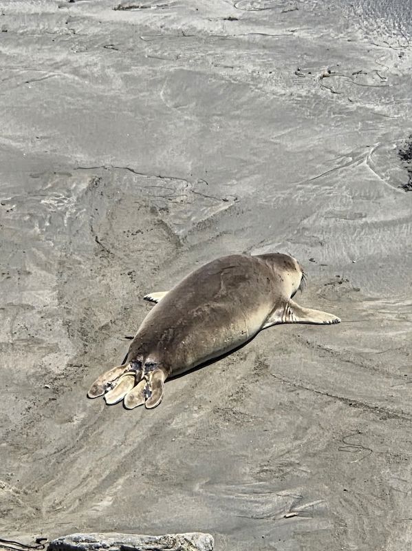
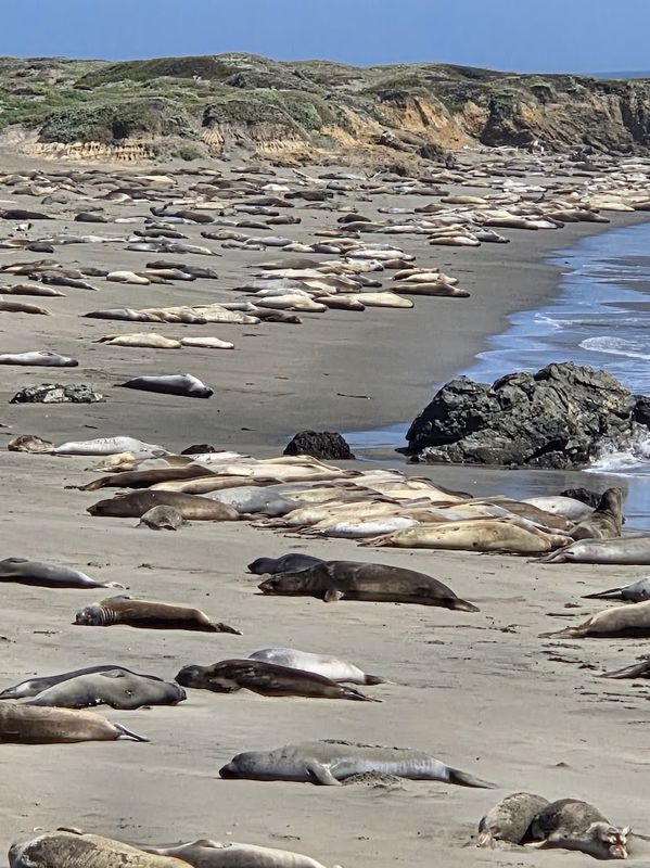
Elephant seals at Piedras Blancas (Piedras Blancas Elephant Seal Rookery): this is my favorite place on the whole route! On the beach next to the Piedras Blancas lighthouse lives a large colony of elephant seals, and from the viewing paths you can see them from just a few meters away. Adult males can reach 4 to 5 meters (13 to 16 feet) in length and weigh up to about 2 tons, and they got their name from their big nose, which looks like an elephant’s trunk. The viewpoint is open every day, with no fee and no advance booking, but there are no restrooms. So you won’t be disappointed, pay attention to the season: the number of elephant seals on the beach peaks three times a year: in late January, when most of the pups have already been born, around early May, and in late October. The adult males start arriving in late November, and in winter you can also see them fighting.
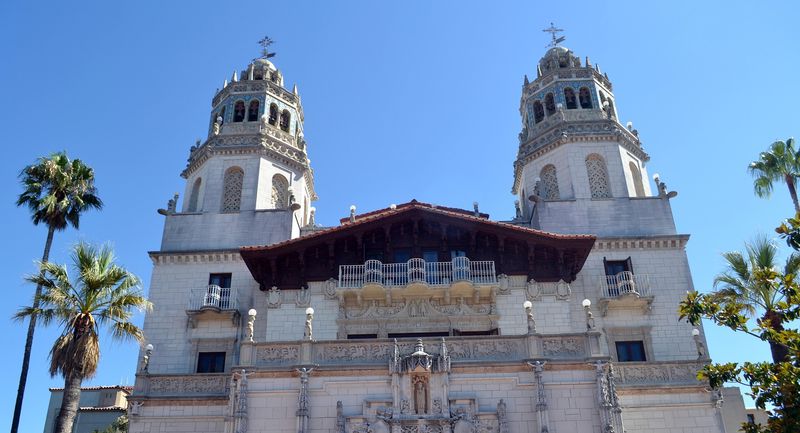
Hearst Castle: on a hill above San Simeon stands the lavish estate of newspaper tycoon William Randolph Hearst, built between 1919 and 1947 and designed by architect Julia Morgan. Today it’s a California state museum, with grand rooms, art collections and gardens. You can’t drive up to the castle in a private car: all tours leave by bus from the visitor center at the foot of the hill, and the bus ride is included in the ticket. There are several types of tours, and a standard tour lasts about an hour and ten minutes, not counting the ride. It’s highly recommended to book in advance, here.
Cambria: a small, pleasant town among pine forests, a little south of San Simeon. Along its Moonstone Beach runs a boardwalk that’s lovely for a walk in the morning or at sunset.
Morro Bay, San Luis Obispo and Pismo Beach
On this stretch the road briefly moves away from the sea. From Morro Bay it turns inland to San Luis Obispo, where it merges with Highway 101, which returns to the coast at Pismo Beach. So don’t be surprised if your navigation app sends you onto Highway 101.
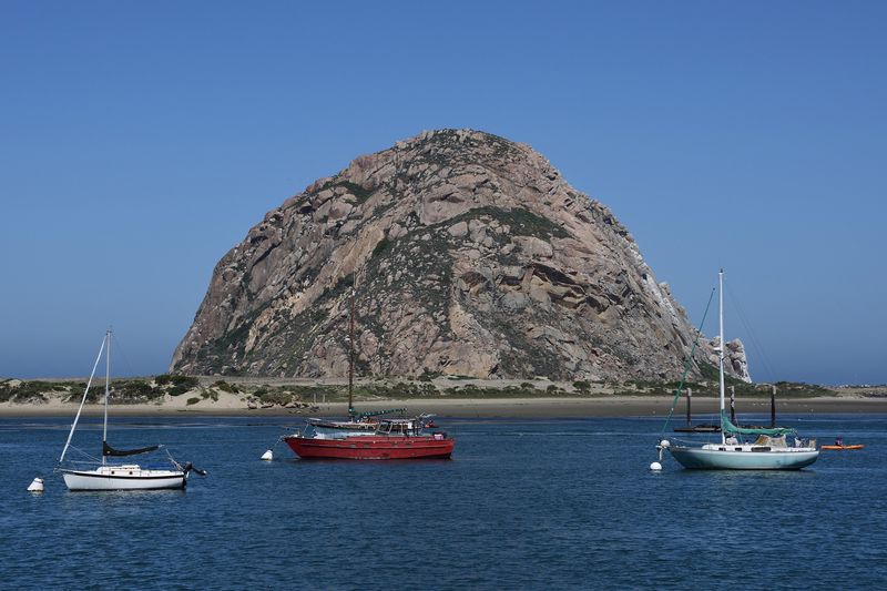
Morro Bay: this beach town is famous for Morro Rock, a huge volcanic rock about 175 meters (575 feet) high that looks like a hill at the entrance to the bay. The rock is connected to the shore by a road, and you can go right up to its base, but climbing it is not allowed, because peregrine falcons nest on it. On the way to the rock, at the end of the harbor walk, is Coleman Park. From there a path runs along the water, where you can often see sea otters in the harbor.
San Luis Obispo: a pleasant college town with a small downtown and good restaurants. In its center stands Mission San Luis Obispo, founded in 1772 by Father Junípero Serra, a Spanish Franciscan friar.
Pismo Beach: a beach town with a long pier. At its southern end is the Pismo Beach Monarch Butterfly Grove, where thousands of butterflies gather in winter. Entry is free, and between November and February, when the butterflies arrive, California State Parks docents are on hand at the grove.
Santa Barbara
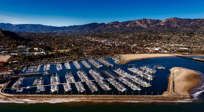
Santa Barbara is an elegant beach city, with Spanish style white houses and red tile roofs, a promenade along the beach and good restaurants.
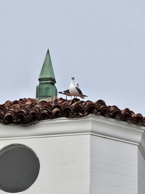
Santa Barbara County Courthouse: an impressive Spanish style building, built in the late 1920s and still in use as a courthouse. You can go up to the observation deck in its clock tower, with no advance booking, and see the city’s rooftops, the mountains and the sea. The building also offers free guided tours.
Mission Santa Barbara: a Spanish mission founded in 1786, on a hill between the ocean and the Santa Ynez Mountains. It’s known as the “Queen of the Missions”, mainly for its beauty: its stone church has a classical facade and two matching bell towers, considered unique among the California missions.
State Street and Stearns Wharf: State Street is the city’s main street, with shops, cafés and restaurants. It runs down to the beach and the historic wooden pier, Stearns Wharf, built in 1872.
A short detour to Solvang: north of Santa Barbara, in the Santa Ynez Valley, is a town founded by Danish immigrants in 1911 and known as “the Danish capital of America”. It looks like a small Danish village, with windmills and Danish style houses. Be sure to try aebleskiver, Danish pancake balls. To get there, take Highway 101 to Buellton, and from there Highway 246.
Malibu and Santa Monica: The End of the Road
After Santa Barbara, Highway 1 passes through the Ventura and Oxnard area and returns to the waterfront near Point Mugu. There it passes through a rock cut that was blasted with explosives left over from World War I. Then it continues along the beaches of Malibu to Santa Monica, which is already inside the Los Angeles metropolitan area.
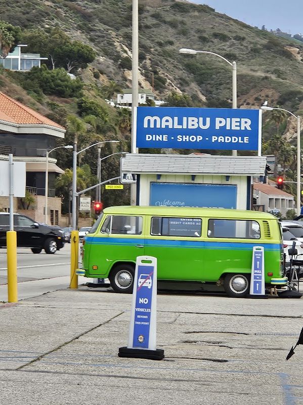
Malibu: on this stretch Highway 1 is already called the Pacific Coast Highway, and it runs along the beaches of Malibu. One of the most beautiful is El Matador State Beach, with big rocks in the water and sea caves. You get down to it by stairs and a dirt path from a small parking lot above the beach, which fills up quickly on weekends.
Getty Villa: a museum at the eastern end of the Malibu coast, displaying collections of ancient Greek, Roman and Etruscan art. Entry is free, but you need to book a timed ticket in advance, and parking is paid.
If you want to really understand what you’re seeing, you can book a private tour of the villa with a museum trained guide. You can choose a tour of an hour and a half, two hours or two and a half hours. Parking is not included in the price. After the tour you can keep exploring the villa and the gardens until closing time.
For details and booking, click here.
Santa Monica Pier: a pier with a small amusement park, stalls and beach views, and also the end of another famous road: on the pier stands the “End of the Trail” sign of Route 66. From here you’re already in Los Angeles, and we covered everything there is to do in the city in ourLos Angeles travel guide.
Drive Highway 1 on Your Own or Join a Tour?
The most fun way to drive Highway 1 is by car, stopping wherever you like. But if you don’t have a car or don’t want to drive, you can join a day trip from San Francisco. Here are 2 recommended tours:
Monterey and Carmel tour: a bus tour of about 11.5 hours, leaving from two meeting points in San Francisco and heading south along the coast. On the way there’s a photo stop at Pigeon Point Lighthouse and a short break in the village of Davenport. In Monterey you get about two hours of free time on Cannery Row and Old Fisherman’s Wharf, when you can also visit the aquarium (the ticket isn’t included in the price). Then you drive along 17-Mile Drive, with photo stops at Bird Rock, the Lone Cypress and Pebble Beach, and finish with an hour of free time in Carmel. Entry to 17-Mile Drive is included in the price. Note that the tour doesn’t continue south to Big Sur.
For details and booking, click here.
Private tour to Big Sur: if you also want to see Big Sur, you can book a private day trip of about 12 hours, for a group of up to five people, with pickup from your hotel in San Francisco. The tour passes through Monterey, Carmel, Pebble Beach and 17-Mile Drive, and from there continues south along Big Sur as far as McWay Falls.
For details and booking, click here.
Where to Stay Along Highway 1
As I wrote at the beginning, I recommend not rushing and splitting the drive over several days. That way you have time to stop at the viewpoints at your leisure and reach your accommodation before dark. Here are recommended places to stay at the main points along the way.
Recommended Places to Stay in Monterey
Monterey is a convenient base for a night or two. It has plenty of places to stay, and it’s easy to head out from there to Carmel and 17-Mile Drive. The next morning you continue south to Big Sur.
Monterey Plaza Hotel and Spa: a 5 star hotel right on the waterfront, next to Cannery Row, about a ten minute walk from the aquarium. It has a spa, restaurants and a bar, and some rooms have bay views.
For details and booking, click here.
Victorian Inn: a Victorian style hotel in the heart of Cannery Row, a few steps from the aquarium. Every room has a fireplace, and the price includes a light breakfast and an afternoon wine and cheese hour.
For details and booking, click here.
Looking for something simpler and cheaper? Monterey also has good motels.
Recommended Places to Stay in Carmel and Big Sur
Staying in Carmel lets you start driving Big Sur early in the morning, and staying in Big Sur itself lets you split the most beautiful section of the road over two days.
Stilwell Hotel: a small hotel in the center of Carmel, about a five minute walk from Ocean Avenue and less than a kilometer from the beach. A light breakfast and parking are included in the price. Not cheap, but excellent!
For details and booking, click here.
Fernwood Resort: a rustic place to stay in the heart of Big Sur, near Pfeiffer Big Sur State Park. The rooms are simple and face the forest and the river, and there’s a recommended restaurant and a bar on site. Perfect for anyone who wants to disconnect from everything for one night halfway along the road.
For details and booking, click here.
Recommended Places to Stay in San Simeon and Cambria
This is roughly halfway between San Francisco and Los Angeles, and a convenient place to stay so you can reach Hearst Castle and the elephant seals in the morning.
Sand Pebbles Inn: a small hotel on Moonstone Beach in Cambria, right next to the boardwalk along the beach. Every room has a fireplace, a small fridge and a microwave, and some have sea views. Breakfast is brought to your room, and you can take it for a picnic on the beach, though in the best American tradition, it’s nothing fancy.
For details and booking, click here.
Coast Riders Inn: a motel in San Simeon, on Highway 1, about six kilometers (four miles) from Hearst Castle. The rooms are spacious and clean, with a fridge and a microwave, and prices are reasonable for the area.
For details and booking, click here.
Recommended Places to Stay in Santa Barbara
Santa Barbara is the last stop before Los Angeles, and it’s worth staying the night so you can explore the city in the evening too.
Cheshire Cat Inn and Cottages: a charming guesthouse made up of rooms and cottages, each one decorated differently, set in English style gardens. It’s on a quiet street, about a kilometer and a half (one mile) from downtown, and breakfast is included in the price.
For details and booking, click here.
Harbor View Inn: a hotel near the beach, less than a five minute walk from Stearns Wharf. It has a pool, a hot tub and a spa, and the rooms are modern and spacious.
For details and booking, click here.
The Franciscan Hotel: a pleasant hotel in the West Beach neighborhood, about 200 meters from the beach, within walking distance of restaurants and cafés. It has an outdoor pool and a hot tub, and guests can borrow bikes and ride along the promenade. A light breakfast and parking are included in the price.
For details and booking, click here.
In Summary
A drive along Highway 1 is one of the best experiences in California, and it can be even better if you prepare in advance and take it slowly, without rushing. I wish you a great trip, and I’d love to hear how it went in the comments.
More Articles for Travelers in the USA
- San Francisco Travel Guide: Where to Stay and Top Attractions
- Where to Stay in San Francisco: Recommended Hotels in 2026
- Los Angeles Travel Guide: Essential Information, Where to Stay and Top Attractions
- San Diego Travel Guide 2026
- The Best Theme Parks in California
- Route 66: The Complete Guide to a Road Trip on America’s Most Famous Highway
- The Overseas Highway: A Guide to Driving the Famous Road Through the Florida Keys
- The Road to Hana: A Guide to Driving Maui’s Famous Road in Hawaii
- USA Road Trip: 7 Recommended Routes for a Trip of Two Weeks or More
- car rental in the USA
- The Complete Guide to Motels in the USA for Families
- Traveling in the USA by Season