


As a nature-loving Haifa local, theCarmel is my second home.
Most Haifa residents go walking on the wonderful promenade of Haifa, but I’m more the type to head out on a nature trail, among all the greenery the Carmel has to offer. To vary my walks, I’m always looking for loop trails on the Carmel. The logistics are simpler, and you’re notdependent on friends to pick you up or on public transport.
I’ve gathered a few loop trails on the Carmel for you, my favorite ones.

Recommended Loop Trails on Mount Carmel
There are dozens of loop trails on the Carmel.
In this post I’ll share my favorites.
The Caves Trail in the Keren HaCarmel Forest
The Caves Trail is a loop trail of about 2.5 kilometers suitable for the whole family, in the southern part of theCarmel, in the Keren HaCarmel Forest. The trail passes impressive seasonal blooms, ancient burial caves (the Sickle Caves, Me’arot Hermesh) and an impressive view toward the Jezreel Valley and the Lower Galilee.
Difficulty: Easy (there’s a climb exposed to the sun).
Estimated time: 1 to 2 hours.
Starting point: The Sickle Caves (Me’arot Hermesh) parking area.
There’s a parking lot at the start of the trail with shaded picnic tables and car parking.
The trail is suitable for dogs.

Nahal Nesher
Nahal Nesher is a beautiful, shaded trail on the eastern slopes of the Carmel.
The trail starts and ends at the Ya’aranim Forest parking area. It starts with a gentle climb past small dry waterfalls on the red-marked trail, toward the village of Isfiya.
Further along the red trail, after leaving the streambed, there’s a junction with a unmarked walking path that leads back down to the parking lot.
Difficulty: Moderate.
Estimated time: 2 to 3 hours.
Starting point: The Ya’aranim Forest parking area.
There’s organized car parking, an overnight campsite, a water tap and toilets at the Ya’aranim Forest parking area.
The trail is suitable for dogs.
Part of the trail is unmarked, so it’s best to use a trail map. I used Amud Anan, an Israeli hiking map app.

Nahal Yagur
Nahal Yagur is a challenging trail on the eastern slopes of the Carmel.
The trail starts and ends at Kibbutz Yagur. It starts with a long, gentle climb toward the village of Isfiya. A little before the village there’s a trail junction, where the descent into Nahal Yagur begins.
It’s a steep descent, with a few small dry waterfalls along the way that you need to climb down carefully.
Difficulty: Challenging
Estimated time: 5 to 7 hours.
Starting point: Kibbutz Yagur.
There’s organized parking for hikers just past the entrance gate of Kibbutz Yagur.

Nahal Sfunim
Nahal Sfunim is a great trail in the southern part of the Carmel, about a 10 minute drive from Haifa.
The trail passes rocky slopes and beautiful woodland, but its highlight is the Sfunim Cave.
Note: entering the cave is prohibited from November to April, to let the bat colony living in the cave rest.
The trail starts on the red and white trail marking, which you follow up to the Sfunim Cave, and from there continues on the blue trail marking.
The trail is about 6.5 km long and involves an uphill climb.
This trail isn’t suitable for hot days, since most of it is in the sun.
Difficulty: Moderate.
Estimated time: 2 to 3 hours.
Starting point: There’s a small parking area next to a bus stop on Route 4, opposite Moshav Megadim.

Want recommendations for trips in Israel?
Join the Check In/Out travel blog mailing list and get trip recommendations.
The Enchanted Forest Trail in the Ofer Forest
The Enchanted Forest Trail runs along the lower slopes of the southern Carmel. It’s a short trail of about 2 kilometers, suitable for the whole family, passing through beautiful woodland and revealing the Carmel’s lovely views.
One of the trail’s advantages is that it passes through a less touristy part of the Carmel.
So it’s especially recommended on weekends packed with hikers.
Difficulty: Easy.
Estimated time: Less than an hour.
Starting point: Carmel Olives parking area (map).
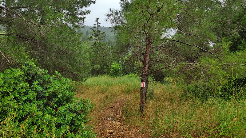
The Forty Grove (Hurshat HaArba’im)
Trail The Forty Grove (Hurshat HaArba’im) is a short, easy trail suitable for the whole family, in the southern part of theCarmel. The trail includes a 1.5 km loop through an oak grove, past impressive cliffs and a view of Haifa Bay.
The trail includes an easy walk along a cliff, with a risk of slipping after rain.
Difficulty: Easy.
Estimated time: Less than an hour.
Starting point: The Forty Grove parking area.
Trail character: Suitable for dogs, not suitable for strollers.

Little Switzerland: Upper Nahal Kelah
My favorite area of all is Little Switzerland (Shvaitzaria HaKtana). It’s a day-use area from which several walking trails set out.
One of my favorite short loop trails is Upper Nahal Kelah.
On the trail you’ll see a special natural feature, a tsanir (a narrow natural rock rib), impressive cliffs, and there’s a short, slightly challenging descent.
Difficulty: Easy to moderate.
Estimated time: An hour.
Starting point: Little Switzerland day-use area (map).
Trail character: Suitable for dogs, shaded.
>> Click here to read about the trails in Little Switzerland.

Etzba Cave
Etzba Cave is a karst cave on the southwestern slopes of theCarmel, with a beautiful view of the coast. You can reach the cave on a short loop trail that includes a steep climb from the Nahal Oren parking area.
Difficulty: Moderate.
Estimated time: 2 hours.
Starting point: Nahal Oren parking area (map).
Note that on weekends and holidays there’s sometimes a parking fee at the Oren parking area.
You can park in a dirt parking lot west of the Oren parking area and add a flat 10 minute walk.
Trail character: Suitable for dogs, unshaded, not recommended after rain.
For more details on the trail to Etzba Cave click here.

Bridges Park
Bridges Park in Nesher is a park on the eastern slopes of the Carmel, an area that’s very green all year round.
The park has convenient marked walking trails leading to the suspension bridges, a fun attraction for the whole family. The park’s main attraction is the bridges that cross the Nahal Katia streambed above the trees. They’re long and very high bridges.
Difficulty: Easy
Estimated time: 1 to 2 hours
Starting point: The Bridges Park parking lot in Nesher.
Paid parking (municipal rate).

Ayala Spur and Nahal Shamri
In the southern, less touristy part of the Carmel there’s a nice loop trail.
Besides a lovely route and wonderful vegetation, the trail passes several points of interest:
- Ein Ayala: a small spring (the last few times I hiked there it was dry).
- Horvat Shamri: remains of a building from the Ottoman period.
- The tomb of Sheikh Shehadeh.
Most of the trail is shaded, and it’s suitable for kids and dogs.
Difficulty: Easy to moderate (there’s a gentle but long climb).
Estimated time: 3 hours.
Starting point: KKL-JNF parking area called Carmelim (map).

Ramat Hanadiv
Ramat Hanadiv is a site with a botanical garden and a nature park covering 450 hectares, south of Zichron Ya’akov. The nature park has three walking trails: the Estate Trail, the Spring Trail and the Vultures Trail. The trail names hint at what you can expect to see along the way.
Difficulty: Depends on the trail.
Estate Trail: easy; Spring Trail: easy; Vultures Trail: challenging.
Estimated time: Depends on the trail.
Estate Trail: 2 hours; Spring Trail: 1.5 hours; Vultures Trail: 2.5 hours.
Starting point: Ramat Hanadiv: there’s an organized parking lot from which all three trails start (map).
For more details on the trails at Ramat Hanadiv click here.

The Tuff Reserve
The Keren Maharal Tuff Reserve preserves a unique geological phenomenon that began about 100 million years ago. This trail on the Carmel is less well known, but it’s special because the area where the reserve now stands was once entirely under the sea, and an underwater volcanic eruption took place here.
The tuff thrown into the air by the eruption fell back into the sea, forming an underwater mountain with only its peak exposed. Many years later the top of the mountain was worn flat by the waves, and a special reef developed on its upper part.
On a short walk suitable for the whole family, you can see fossils, animals and plants typical of the area.
Difficulty: Easy.
Estimated time: 1 to 2 hours.
Starting point: The village of Kerem Maharal.

Do you have more recommendations for loop trails on the Carmel?
I’d love for you to write them in the comments!
Want to hear when we post recommendations for new trails on the blog?
Likethe blog’s Facebook page or sign up for the newsletter of the blog.
Happy travels,
Shir-Yam
